Hikes
There are three trekking loops in the Reserve:
North-central route
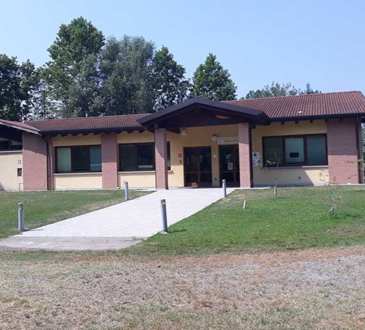
Starting/ending point: Iseo Visitors’ Centre
Length: 5 km
Leaving the Visitors’ Centre behind, set off along the path on the right. The path branches off along an area of reeds on the right, while there are fruit bushes on the left that were planted to encourage biodiversity.
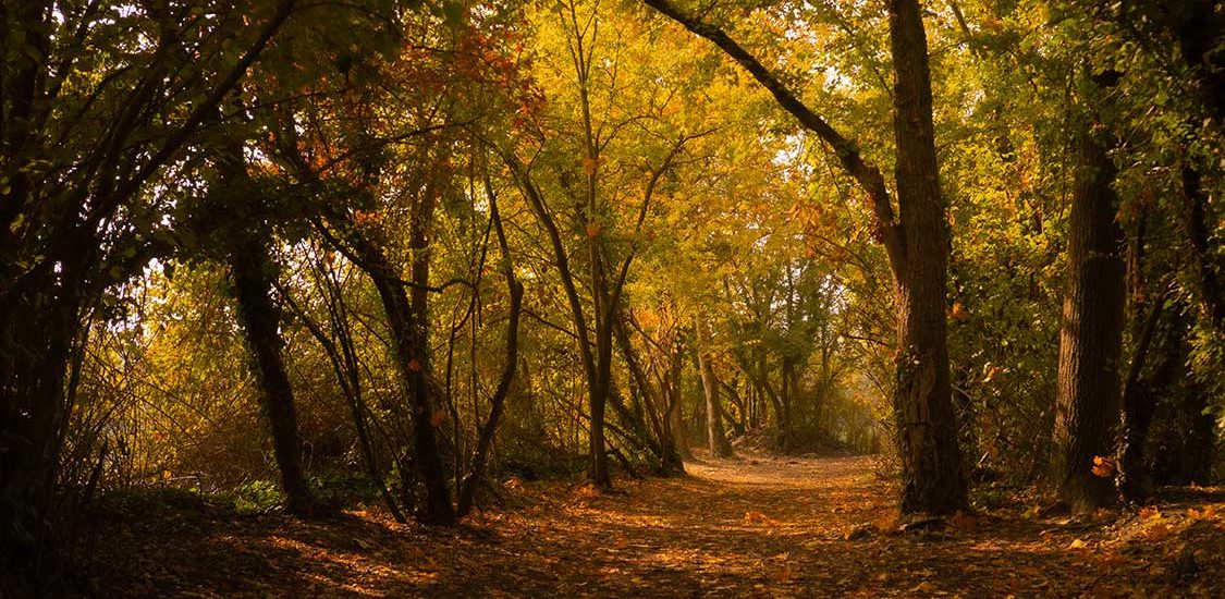
The path continues by first crossing a damp forest, then cultivated areas containing vineyards and olive groves.
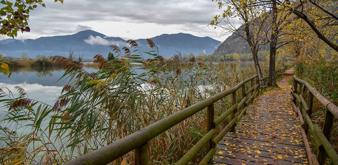
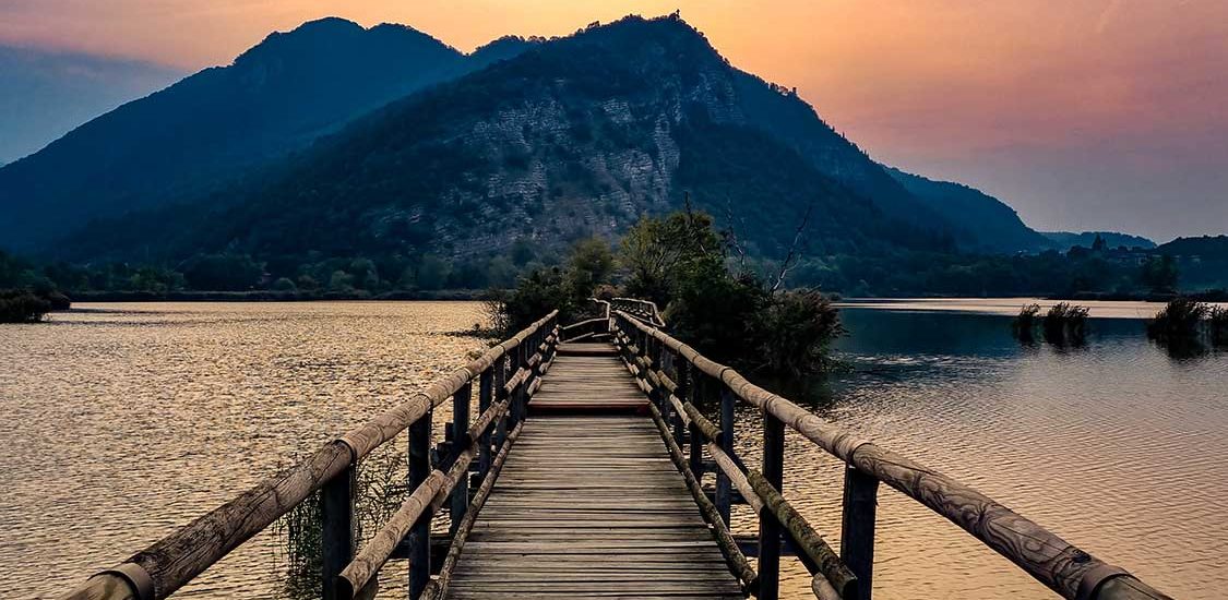
At Trattoria Fontanì, continue to the wooden bridge and turn right, following the signs for the Central Route. This is the most suggestive section, since it runs directly into the heart of the Reserve via wooden walkways connecting the different spits of land between the pools. There are various birdwatching stations.
Turn right at the end of the Central Route near the Vivaio Zanetti nursery with its rows of garden plants, following the signs for Iseo/Northern Route.
The route winds its way through meadows and damp forest before reaching the roundabout at Cremignane di Cortefranca (town of Ciochet). Becoming a footpath again, it continues along the provincial road (screened by rows of trees and native vegetation), passes the fishing areas and finally reaches the crossroads leading to the birdwatching tower.
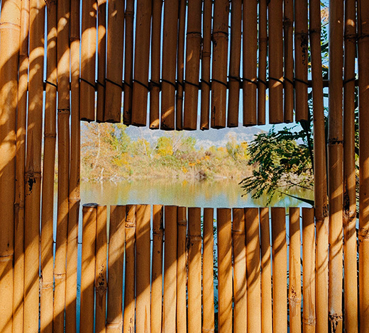
This small detour follows a beautiful path dating to the period of peat extraction, where you can admire a large part of the pools and enjoy the view in silence. The path ends at the birdwatching tower. Return to the main route, which leads to the barrier at the Iseo entrance after a few minutes’ walk. From there, turn right towards the Visitors’ Centre.
South-central route
Starting/ending point: Monastery of San Pietro in Lamosa
Length: 4 km
The route starts to the right of the monastery; follow the signs for the Central Route.
A few minutes after the start, there is a panoramic viewpoint on the right, where you can admire the pools from which the peat was extracted. Continue towards the central path, which is the most suggestive, since it runs directly into the heart of the Reserve via wooden walkways connecting the different spits of land between the pools. After crossing the jetties and various birdwatching stations, follow the signs at the crossroads for Provaglio d’Iseo/Southern Route.
The route passes through cultivated fields and stretches of forest. It first follows along some pools where fishing is allowed, then enters an area with permanent meadows (useful for pollinating insects due to the large number of flowers), a wooded area and finally another area with wooden walkways suspended over the water. This is the last stretch before crossing the railway and returning to the monastery.
North-south route
Starting/ending point: One of the three official entrances to the Reserve
Length: 8 km
This is the longest route in the Reserve. It follows the entire perimeter in a complete loop, so you can start from any of the official entrances to the Reserve.
Starting from the Iseo entrance (park next to the sports field), take the path that turns to the right immediately after the entrance barrier (purchase tickets, while keeping in mind that the path is BEFORE the dispenser) and follow the arrows for ‘Northern Route’.
The path follows a section bordered by trees typical of damp areas, such as alders, black poplars, willows, and plane trees, reaching the small ponds currently being regenerated*. Past these, we find the arrow indicating the Northern Route. Following this, pass the area for sports fishing until you reach the large meadow next to the roundabout in Ciochet.
Continue following the arrows through meadows, gardens, and a small forest, until you reach a nursery. Past this, the path leading to the monastery crosses the Southern Route. Here, where there is a bench, turn right to continue along the loop. Pass near the basins created by clay quarrying and continue to the Iseo-Paratico cycling path in the town of Corte Franca.
Follow the cycling path to the crossroads for the monastery, which is marked by arrows and notice boards with information on the fauna. Turn to the left following the beautiful Southern Route, cross the meadows, rush stands, and boardwalks over the water until you reach the monastery in Provaglio d’Iseo. Pass it on the right to descending along the paved road indicated with the Central Route and Northern Route.
The route passes close to a large meadow and then a small forest that hugs the road to Iseo. Continue until you reach the stairs that descend next to the Funtanì spring. Still following the arrows for the Northern Route, turn to the right after a few hundred metres, crossing a small bridge between two interesting basins bordered by rushes. From here, we return to Iseo. Pass by Trattoria Funtanì and leave the most extensive rush stand in all of the ‘Lame’ on the left. Continue for about 20 minutes until you reach the Visitors’ Centre and your car after another short walk.

